I’m looking forward to writing this series of posts. They are about a true adventure. I could write it from memory, but my crinkly old journal will be helpful. I’m looking forward to reliving the journey.
*******
This tour was partly inspired by Bob Broughton’s British Columbia/Alaska Cycle Touring Frequently Asked Questions on the Internet. I found his website when planning my BC Tour the year before, and it gave me an urge to go further north this time. Some of his answers are amusing.

My journey started on a venerable old ferry boat. It travels the Alaska Marine Highway from Bellingham, Washington to Skagway, Alaska. I had planned to ride over the mountains to Bellingham. But Charlie Clark offered to come over from Seattle and take me and my bike to Bellingham. Jane came over too. She and Marcia rented a cabin in Crosby, Minnesota for a month.
I had a mountain bike, rigged for touring, instead of my touring bike. Bob’s description of the Top of the World Highway prompted that decision: “It is unpaved, often soft, and when wet becomes impassable. It is also very hilly. Bad road!” ~Bob Broughton
The mountain bike would cost about 1 mph in average speed, but it turned out to be a good choice. Not because of that road, but on another road that we’ll get to later…
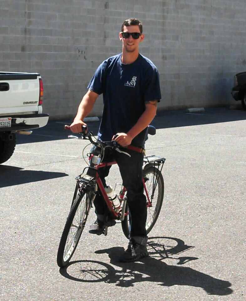
Charlie took me up to Susan’s house in Everett. I stayed there a couple of days and did some “shakedown” rides around Everett and down to Mukilteo. I discovered I had forgotten my water bottles, but there were no other problems. I found a bike shop and bought the three I needed.
The owner of the ostensively-named Mukilteo Mountain Bike Company had cycled in Alaska and Yukon too. He warned me about mosquitoes, but it turned out to be an unusually dry summer, and I had very little trouble from them. Less rain as I expected was nice too. Lucky me.
Charlie came back to Susan’s and took me up to Bellingham to meet the ferry. We got there about 2:00 in the afternoon. Pedestrians get to go on the ferry before vehicles load. Bicycles were included, and a fellow I met was rolling his long sea kyack on board too. I surmised from his appearance that he was an Alaskan native returning home. It turned out he was from Phoenix. He was going to spend a few weeks on a few of the thousands of islands in lower Alaska.
The first thing I did after tying my bike to a bulkhead was set up my tent. I had learned that many people like me do that instead of booking a cabin. You may be wondering how do you set up a tent on a steel deck. It’s easy. Fasten the tent ropes to the deck with duct tape. Then I brought some of my gear up from the vehicle deck and settled into my new home in tent city.
The ferry sailed along at about 17 knots (20 mph), so it’s not much faster than a bicycle. But it travels 24 hours a day vs, say, 8 hours at 10 mph on a bike (considering hills, eating, etc.). The ferry goes six times as far in a day as a bicycle tourist. It’s a little over 1,200 miles through the Inside Passage to Alaska. The ferry gets there in about three days. It would take 15 to 20 days on a bike (if there was a road). 😀
A ferry is not a cruise ship. There’s no swimming pool, spa, dance floor, captain’s table, or seafood smorgasbord. This ferry had a nice restaurant and hot showers though. Also an elegant observation deck up at the bow. We also had a lifeboat demonstration, and a crewman showed me the navigation equipment.
The scenery keeps changing, but you can only soak up so much of that. There were half a dozen stops along the way. Most of them are little villages clinging to the side of a mountain. We stopped in Ketchikan for three hours. Jane and Charlie spent a couple of years with the Coast Guard there. I knew it was a dark, damp, dreary place. It was drizzling when we got there.
I got off the ferry and walked all the way through Ketchikan. There is only one street in Ketchikan, outside of the main business district, which is a couple of blocks in size. There are fishing boats, seaplanes, and eagles all along the seaward side of the street. Everybody looked at me because they knew I was not from there.
A strong wind had come up after I got back to the ferry. Some kind tent city souls came to tell me that my tent was about to be blown over the side. When I got there it was rolled into a ball but the duct tape still held. I got inside and held it down but quite a bit of rain came in anyway. I managed to keep some things dry, but my journal got soaked. My journal was one of the things that got wet, and of course it is now crinkley.
We arrived at Skagway late in the afternoon. I was planning to find a campground there for the first night. But I met two cyclists who were traveling to a race up there. They asked if I was going to start riding that evening. After a little reflection, I decided why not? Skagway is far enough north to have daylight for about 20 hours at that time of year.

The coastal mountain range of Alaska rises right from the sea at Skagway. Much like a Klondike gold seeker, I had to get up on the plateau that the mountains are carved from before I could continue to Dawson City. Klondike prospectors had to haul 2,000 pounds of food and supplies up there. Otherwise, the Mounties would not let them go on.
I only had to haul about 60 pounds, including my bicycle, up there. It was 3,280 feet to the summit. The grade on the climb is about 8% — about all I could handle. It took me two hours. That’s the hardest climb I ever made, and I did it without stopping. The narrow-gauge train on its track off to the right beat me to the top, though.
After prospectors got to the top, a string of lakes took them to where the Yukon River was navigable. All they had to do was build or hire a boat or raft, and they were on their way to the Klondike. Simple. All I had to do was pedal my bike. Simple and much easier.
Riding up to that pass helped me overcome my vague unease with my journey through that empty country. My outlook changed after a few days on the road. The landscape became inviting instead of a dark unknown. My tent felt like home by the middle of the tour.
I wanted to cross the border to BC before looking for a place to camp. I wasn’t sure I’d make it in time, and when I got there the station seemed to be closed. I knocked on the door anyway, and the agent came out. She said they never close in the summer. Great, I was on my way again, and now it was downhill all the way to Dawson City.
The sun had set some time before, but I still had good daylight for riding. I started looking for a place to camp after an hour or so. I saw nothing but small lakes and rough swampy ground along the road, though. I kept on riding for an hour or two and it was getting dark. There were no cars on the road, so it was still safe to ride, but I needed to find a camping spot soon.
A sandy area in some trees appeared suddenly as I went around a curve. The sand was deposited by a creek that surges over that spot during the spring melt. Perfect. I ate some of my snacks and was in my tent before midnight.
The Yukon River takes a surprising route to the ocean. Its headwaters are only about 10 miles from Skagway. It flows 500 miles north to Dawson City, veers right and flows another 1,500 miles to the Bering Sea. Talk about going the long way.
Many prospectors went up the Yukon on a sternwheeler instead of going over the Chilkoot or White Pass trails to get to the gold fields. Eventually, sternwheelers went all the way up to Whitehorse. They continued to be used until the 1950s. I’d be seeing one the next day…
This post has been revised a bit to conform more closely with my journal instead of my memory. 😉

well, I don’t think the tent on deck would be my first pick for an Alaskan cruise, but I guess it worked!
LikeLike
Often things that don’t work out turn into stories.
LikeLike